Extreme heat and Sahara dust mark the day in the Dominican Republic
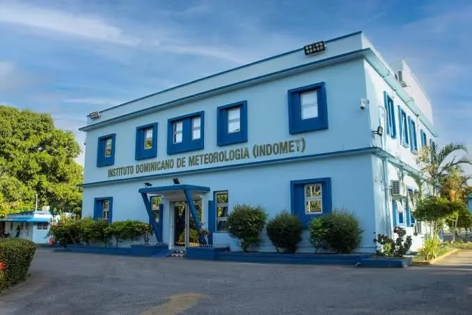
The Dominican Institute of Meteorology (Indomet) has issued its updated report for this Tuesday, highlighting an environment characterized by high temperatures and mostly clear skies across much of the national territory. The current atmospheric stability is the result of a notable decrease in humidity levels and the persistent presence of Saharan dust particles.
Precipitation forecast and affected areas
Although much of the day will remain sunny, the agency warns that, as evening approaches and into the early hours of the night, an increase in cloudiness is expected. This phenomenon, driven by daytime heating and orographic effects, could generate local showers and isolated thunderstorms, focusing mainly on the following provinces:
- Monte Plata
- Hato Mayor
- San Juan
- Elías Piña
Recommendations for sweltering heat
High temperatures will continue to be the predominant factor, with a high heat index affecting the entire country. In Greater Santo Domingo, maximum temperatures are forecast to range between 33 °C and 35 °C, while minimums will be between 24 °C and 26 °C.
It is essential that the population stays hydrated, wears light-colored, lightweight clothing, and avoids direct sun exposure during peak radiation hours. Special attention should be paid to the most vulnerable groups, such as children, the elderly, and pregnant women.
Outlook for the coming days
The weather bulletin indicates that the current outlook, marked by grayish skies and stability, will begin to transform starting tomorrow, Wednesday. The arrival of a tropical wave will bring with it a significant increase in humidity, which will favor an increase in the probability of rain over various regions of the country, providing possible relief from the extreme heat conditions that have characterized the month of August.