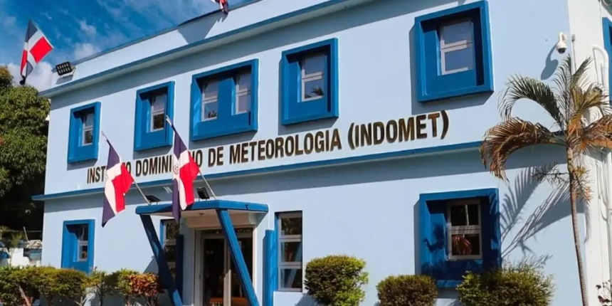
Indomet reduces alert levels for rains in the national territory
The Dominican Institute of Meteorology (Indomet) has reported an improvement in atmospheric conditions for this Monday. The presence of an air mass with lower moisture content, combined with the influence of an anticyclonic system, will favor a significant decrease in rainfall nationwide.
However, the agency warns that the combination of a trough and local effects typical of the Dominican geography could cause isolated downpours, thunderstorms, and wind gusts during the afternoon. These conditions will mainly affect sectors of the northeast, the southeast, and the Central Mountain Range, including provinces such as Monte Plata, Sánchez Ramírez, Duarte, San José de Ocoa, La Vega, southern Santiago, San Juan, and Elías Piña.
Weather alert update
Given the soil saturation and the rainfall recorded recently, the National Forecast Center has adjusted its alert levels. Currently, six provinces remain under surveillance due to the risk of urban flooding or the swelling of streams and creeks:
- La Vega
- Monte Plata
- Santiago Rodríguez
- Sánchez Ramírez
- San Juan
- Elías Piña
It is important to highlight that Indomet has discontinued the alerts for Greater Santo Domingo, San Cristóbal, Monseñor Nouel, Dajabón, San Pedro de Macorís, Espaillat, Puerto Plata, Santiago, and Duarte. Currently, no province remains under a meteorological warning.
Temperatures will remain hot during the day, with highs ranging between 32 °C and 34 °C, while minimum values during the early morning and first hours of the morning will be between 23 °C and 25 °C.
Atlantic monitoring and local forecast
Regarding cyclonic activity, the meteorological agency is monitoring a low-pressure area located in the southwestern Gulf of Mexico. According to current models, this phenomenon has a 10% potential for cyclonic development over the next 48 hours, increasing to 50% over the course of the next week.
For Greater Santo Domingo, a scenario of scattered clouds is expected. In North Santo Domingo, occasional cloud increases are forecast with the possibility of local downpours and afternoon thunderstorms, while in the West and East zones, a sky with scattered clouds will prevail for most of the day.